Leisure & tourism
Everyday
Specials for Crow Haven Estates
Shopping
Trouble Lane
The Trouble Lane is located in the south of Annie Hall with the zip code of 20689. It is about 569 meters long.
Transport
| Sunderland Park and Ride | 3km | |
| Skinner's Turn Road and Route 2 | 3km | |
| Route 4 and Route 262 / Lower Marlboro Road | 3km | |
| Route 262 and Huntingtown Road | 4km | |
| Route 2 and Grover's Turn Road | 5km |
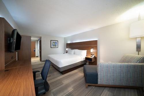
Hotels & Apartments
We found the following hotels and apartments in Trouble Lane for you:


Close by ...
Nearby we found in the most important categories for you: